|
Queens Maps
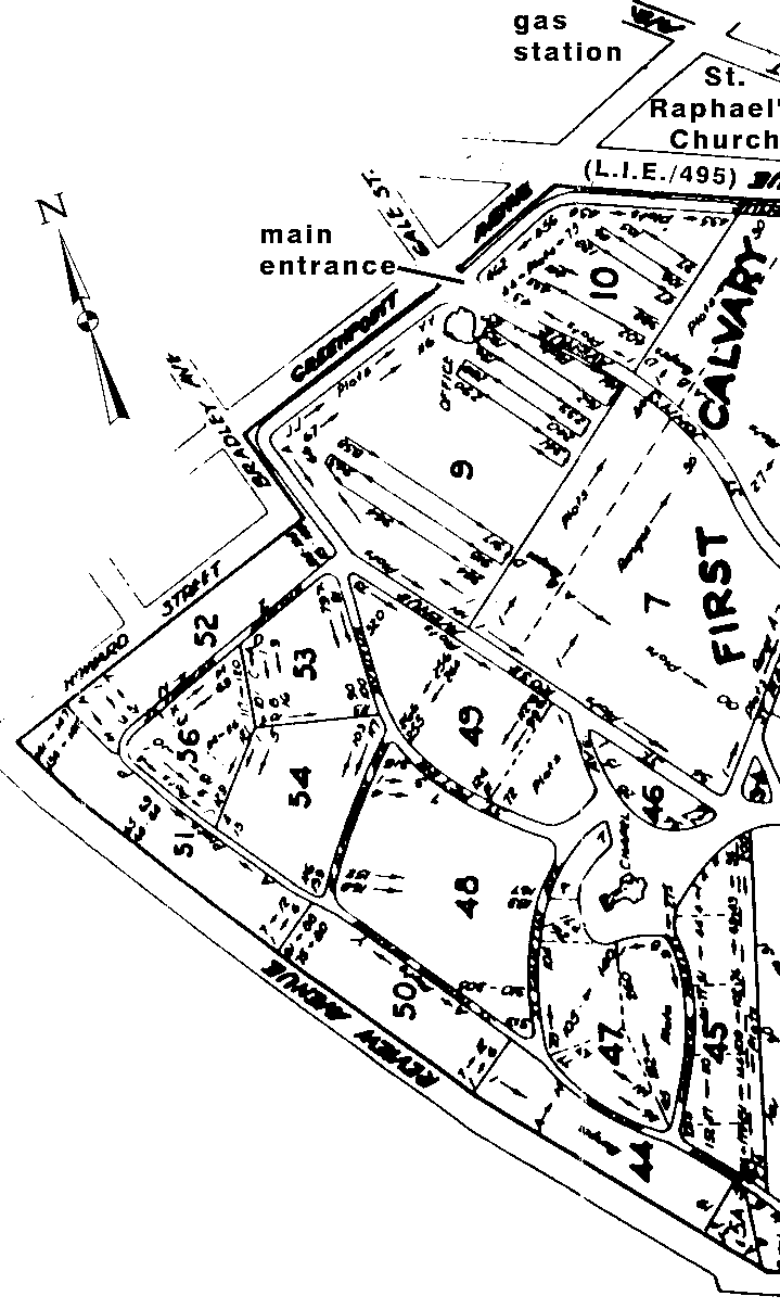
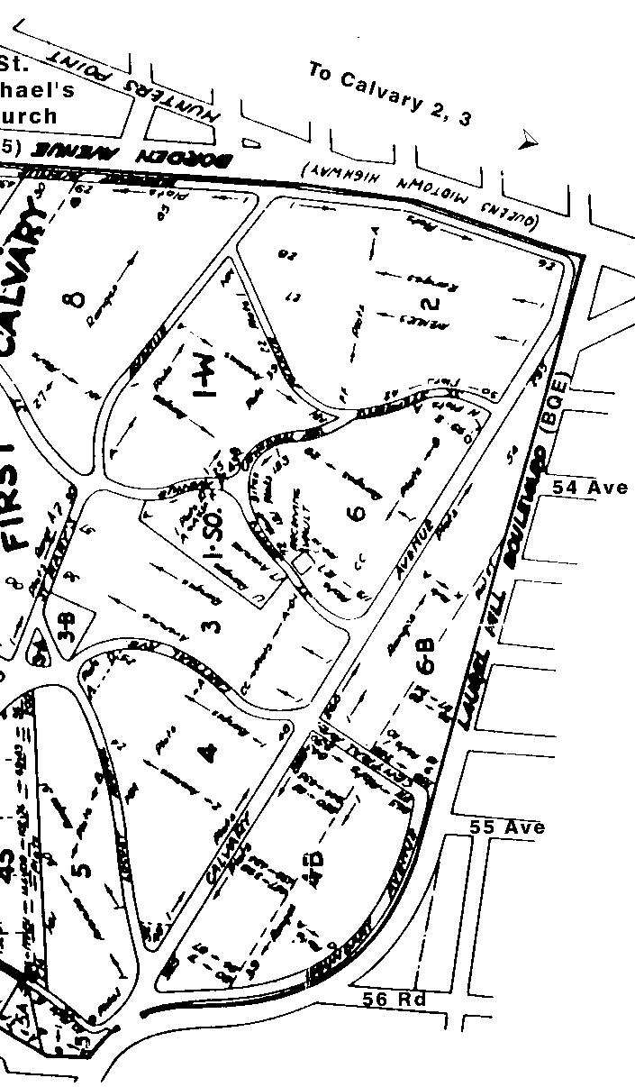
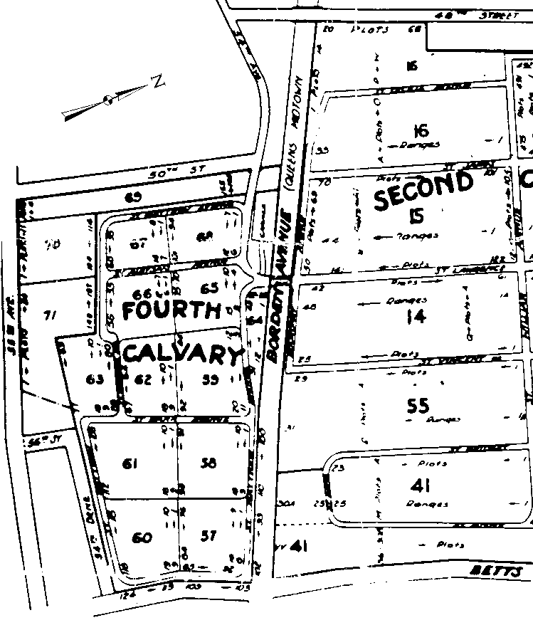
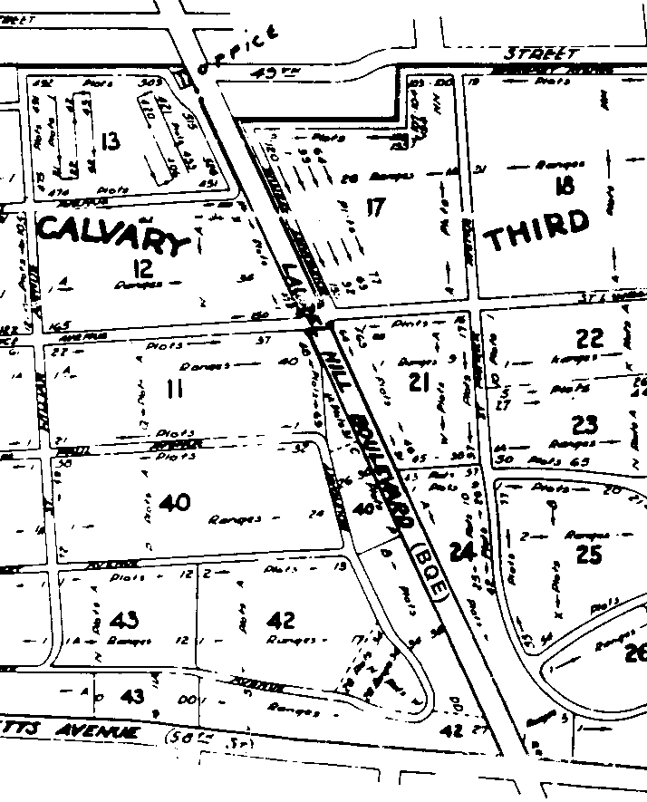
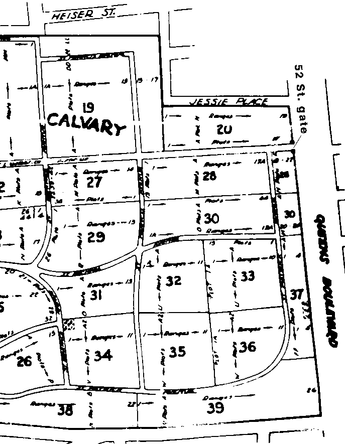
Calvary Cemetery, Woodside, Queens, NY, plot maps These are scans of the standard Calvary plot maps, with a few annotations I have added myself. I have tried to make these scans as readable as my original, but my source was a many-generation Xerox on which the details are only marginally readable. Calvary 1 also known as First Calvary or Old Calvary. Map is in two vertical sections, with some overlap. Each can be printed from your browser on legal-sized (8.5" x 14") paper. Set orientation to portrait and reduce all margins to .4". Trim and tape 'em together. left panel | right Calvary 2, 3 and 4, also known as New Calvary. Scanned in three vertical sections. Each of these can be printed from your browser on standard, letter-sized (8.5" x 11") paper, portrait orientation. Again, reduce margins to .4". left panel | center panel | right panel back to Queens/ Astoria maps page Posted Aug 2001 http://www.pefagan.com/gen/astmaps/calvarymaps.html |